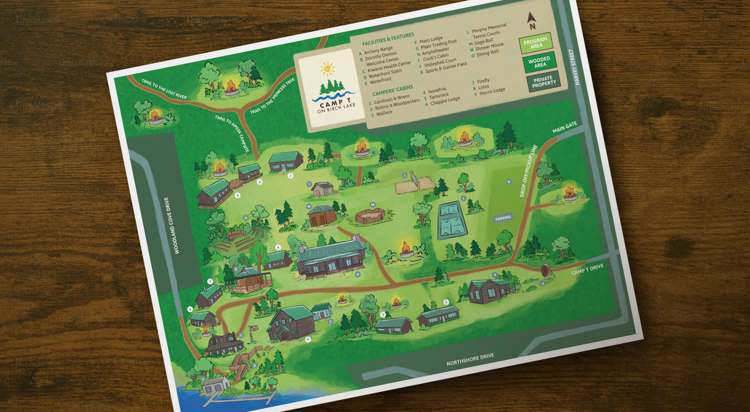
Showcasing a gorgeous camp through hand-crafted illustrations.
Camp T at Birch Lake has been connecting young people to the outdoors since 1921. With 45 acres of wooded grounds and a stunning lake along its edge, Camp T is the picture of that classic camp experience.
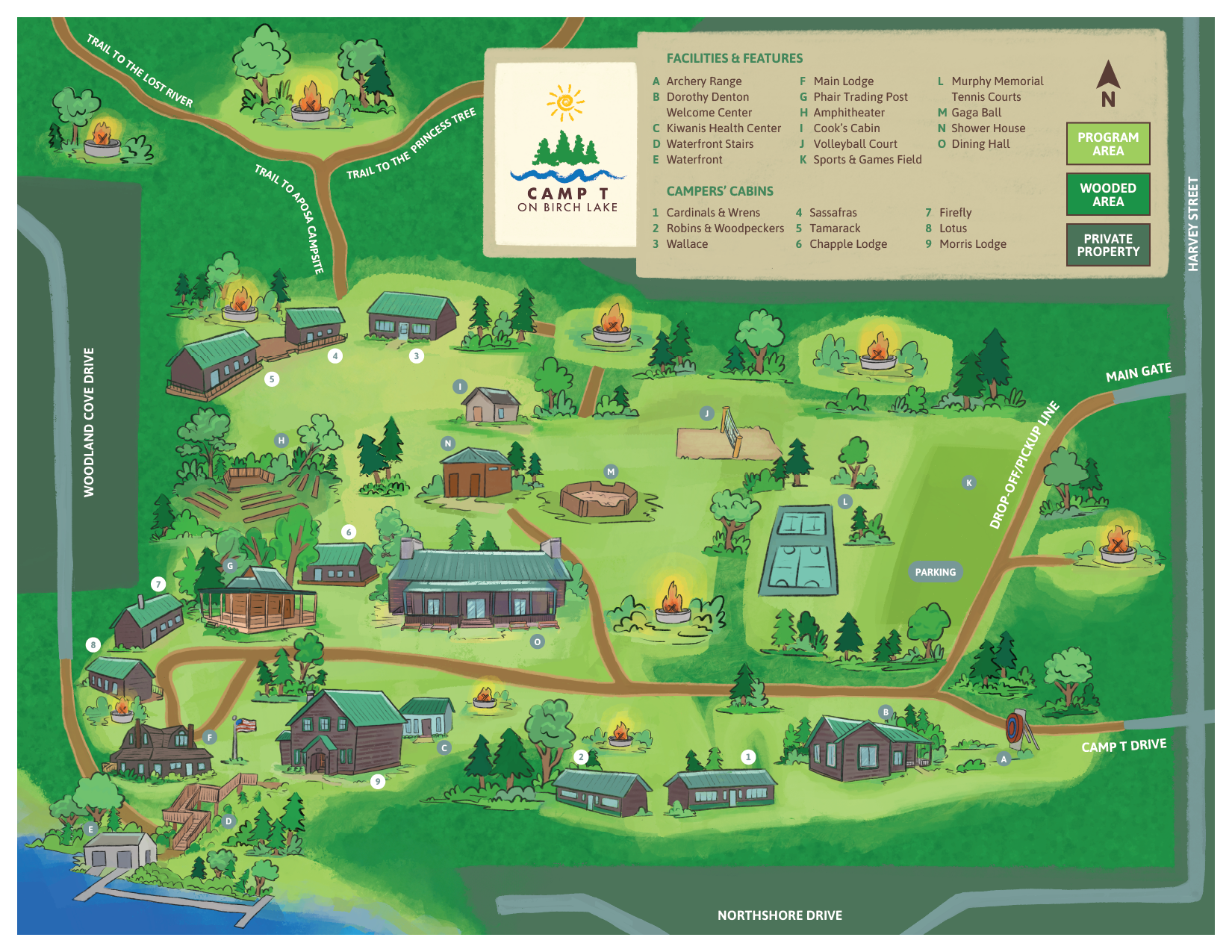
As they continue to grow, they wanted a camp map that gave campers and visitors a snapshot of what awaits them. This illustrated map brought the camp to life while serving as an important navigational aid so everyone who comes to Camp T feels like they’ve come home.
Camp T Map Illustration
From sketch to final illustration.
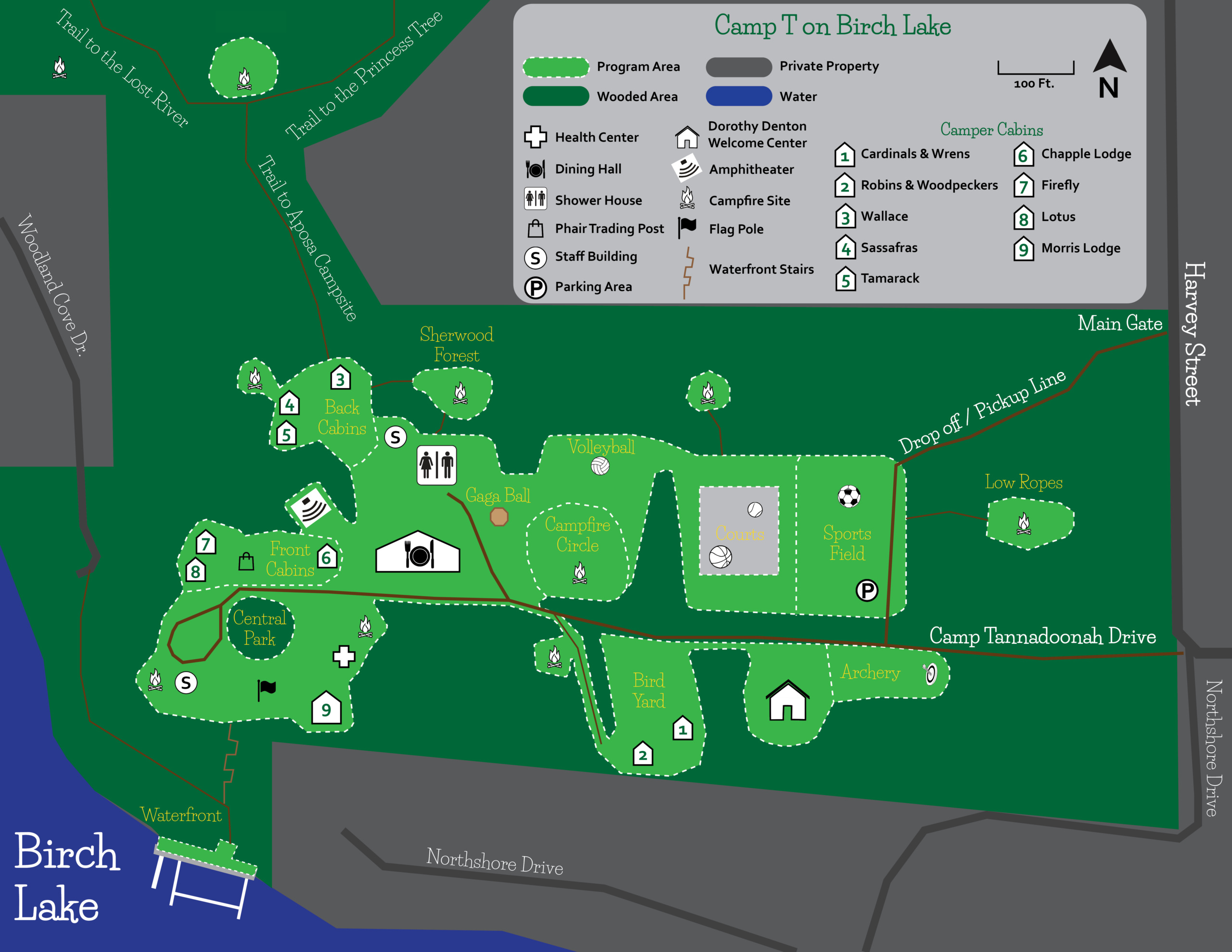
The process began by laying out all the elements that needed to be in the final map. A goal of creating an illustrated map is to depict the unique buildings and landmarks of a place, while still being accurate to placement and navigation. The sketch phase makes sure everything is in its proper place before adding detailing and colors.
After a sketch is approved, it’s brought to life through coloring and styling. For the primary buildings of the campground, we wanted them to be instantly recognized, so great care was given in rendering the buildings with texture and details.
The landscape is also a huge part of the map. Camp T is densely wooded, so pines and bushes and looming trees were interspersed among the buildings. With this rich green setting, campers and visitors will be excited to enter the grounds.